WHEN YOU ARE CLICKED FROM THE CLOUDS
Drone Photography plants that flourishing radiance in life.
Drone Photography Packages
(Pricing Plan)Our advanced drone photography / videography creates an ensemble of aesthetic attractiveness, clear details, and sublime vibes in your photos > videos.
We envelope the spirits of nature in you shooting from drones.
Choose Your Drone Photoshoot Packages (Pricing Plan)
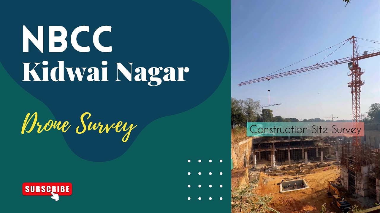
Aerial Survey - ₹12,500
Premium
Location: Delhi NCR (20 kms from CP)
~ Unlimited Digital Photos for Selection
~ 10 Final Retouched Photos (Digital Copies)
~ All raw video footage
~ Duration upto 1 hour
Add On Services:
Additional hours @ 2000/- each
Real Estate - ₹15000
Most Affordable
Location: Delhi NCR (40 kms from CP)
~ Unlimited Digital Photos for Selection
~ 10 Final Retouched Photos (Digital Copies)
~ All raw video footage, 1 final video
~ Duration 2 hours
Add On Services:
Additional hours @ 2000/- each
Whole Day - ₹25000
All In One Plan
Location: Delhi NCR (100 kms from CP)
~ Unlimited Digital Photos for Selection
~ All raw video footage
~ Duration upto 8 hours
Add On Services:
Additional hours @ 2000/- each
Pre-wedding - ₹7500
Hot Selling
Location: Delhi NCR (40 kms from CP)
~ Unlimited Digital Photos for Selection
~ All raw video footage
~ Duration upto 4 hours
Add On Services:
Additional hours @ 2000/- each
Wedding - ₹7500
Get Most of It
Location: Delhi NCR (40 kms from CP)
~ Unlimited Digital Photos for Selection
~ All raw video footage
~ Duration upto 4 hours
Add On Services:
Additional hours @ 2000/- each
360° Video Selfie Booth - ₹15000
For Corporate Events
Location: Delhi NCR (Upto 60 kms from CP)
~ Unlimited selfie videos
~ Duration upto 5 hours
Add On Services:
Additional hours @ 2000/- each
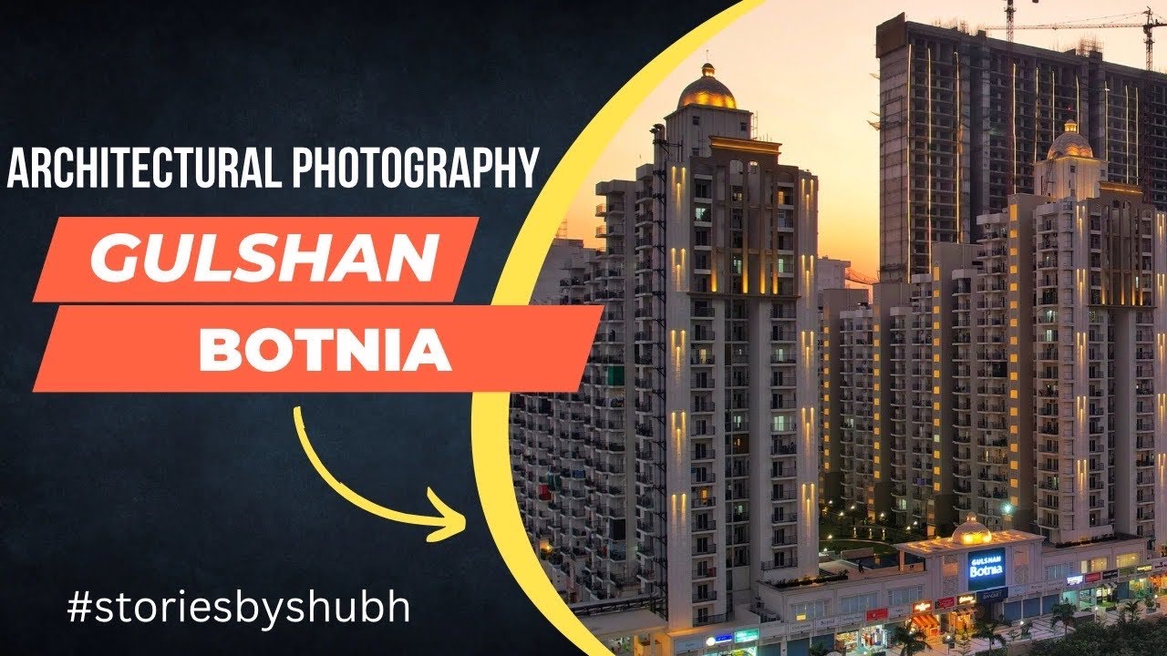
A drone survey can be an excellent tool for real estate professionals to capture aerial footage and images of a property. Here are some potential benefits of using a drone survey for real estate:
- Better perspective: Drones can capture images and videos from a higher vantage point, giving buyers and sellers a better perspective of the property.
- Accurate measurements: Drones can be equipped with sensors that allow them to take precise measurements of a property, which can be especially useful for appraisals.
- Time-saving: Drones can capture footage and images quickly, which can save time compared to traditional survey methods.
- Cost-effective: Drone surveys can be a more cost-effective option than traditional aerial surveys, which typically require the use of a helicopter or airplane.
- Improved marketing: Aerial footage and images captured by drones can make a property stand out in marketing materials and online listings, potentially attracting more interest and higher offers.
When hiring a drone survey company, it is important to ensure they have the necessary certifications, licenses, and insurance to operate commercially. Additionally, it is essential to obtain permission from the property owner and comply with any local regulations regarding drone usage.
A drone videography survey is a questionnaire or poll designed to gather information and insights on the use and application of drones for videography purposes. The survey can be targeted towards different groups such as drone enthusiasts, professional drone pilots, or videographers who use drones in their work.The survey may include questions about the types of drones people use, their experience and expertise in piloting and operating drones, the types of cameras and equipment they use for videography, the challenges they face when using drones for videography, the safety and regulatory considerations they follow, and their overall thoughts and opinions on the future of drone videography.The data collected from the survey can be analyzed to identify trends, patterns, and areas for improvement in the drone videography industry. This information can be used by businesses, governments, and organizations to develop policies, regulations, and training programs that support safe and responsible use of drones for videography purposes.
FAQs
How can drone photography benefit my real estate listing?
In a competitive market, a bird’s-eye view is a game-changer. Our real estate drone photography provides a unique perspective that ground-level shots simply can't match. It allows potential buyers to see the entire property layout, the neighborhood, and proximity to landmarks—all in one stunning 4K frame. It doesn't just show a house; it showcases a lifestyle.
Do you provide drone services for weddings and pre-wedding shoots?
Absolutely! Nothing adds "cinematic scale" to a wedding film like a sweeping aerial shot of the venue or a romantic top-down view of the couple. Our Hot Selling Pre-wedding drone package is designed to give your love story a grand, movie-like feel, capturing the scenery and the scale of your celebration from the clouds.
How long does a typical drone photography session last?
The duration depends on your specific needs. Our packages range from 1-hour sessions for quick aerial surveys to 8-hour "Whole Day" plans for extensive event coverage or industrial shoots. If your project runs over, we offer flexible "Add-On" hours to ensure we capture every vital angle.
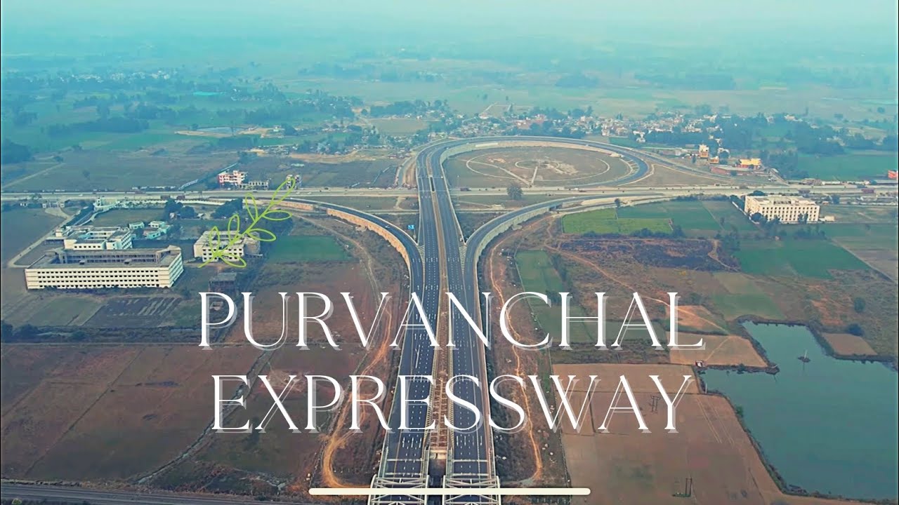
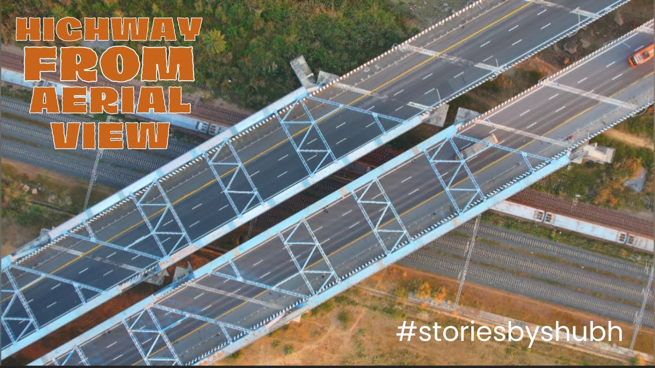
What is an "Aerial Survey," and who needs it?
An aerial survey is a high-precision service used for infrastructure, land mapping, and large-scale projects like highways or railway tracks. Using advanced sensors, our drones capture accurate data and high-resolution images that help in appraisals and project monitoring. It’s a cost-effective and time-saving alternative to traditional surveys involving helicopters or manual labor.
What kind of quality can I expect from the videos and photos?
We provide Unlimited Digital Photos for you to select your favorites, which are then professionally retouched. Our drones capture footage in high-definition (4K), ensuring that the raw video data is crisp, vibrant, and ready for professional use, whether for a corporate presentation or a family album.
What happens to the raw footage after the shoot?
Unlike many others, we believe the data belongs to you. In most of our packages, we provide all raw video footage alongside the final retouched images. This gives you the freedom to use the clips for different social media edits or future marketing materials.
How soon will I receive the data after the session?
We know you're excited to see the results! After the session and final payment, we typically share the digital data via a secure Google Drive link or SendGB within 24 hours. For final retouched photos or edited films, the timeline is usually within a few weeks, depending on the complexity of the project.
What do you mean by digital photographs?
Digital photographs are the soft copy images which provide you better quality images and moreover, you can share them easily on various online platforms. They ensure no loss in quality, even after several years.
What do you mean by retouched pregnancy pictures?
Retouched pregnancy pictures means edited pictures which includes skin retouching, color correction & light correction.
Is it legal to fly drones at my location?
Safety and legality are our top priorities. We stay updated on local regulations and drone laws. While we handle the technical side, we do require permission from the property owner. For certain restricted zones, we may need to check feasibility beforehand to ensure a smooth, worry-free session.
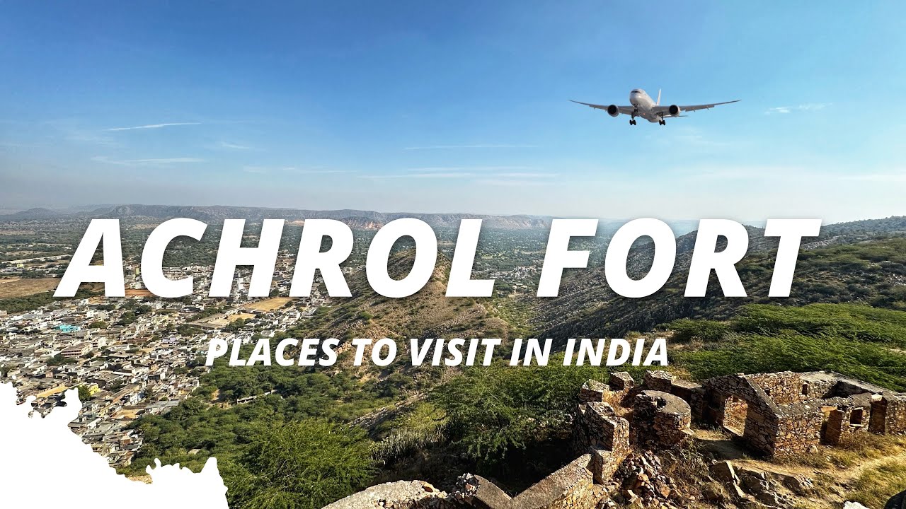
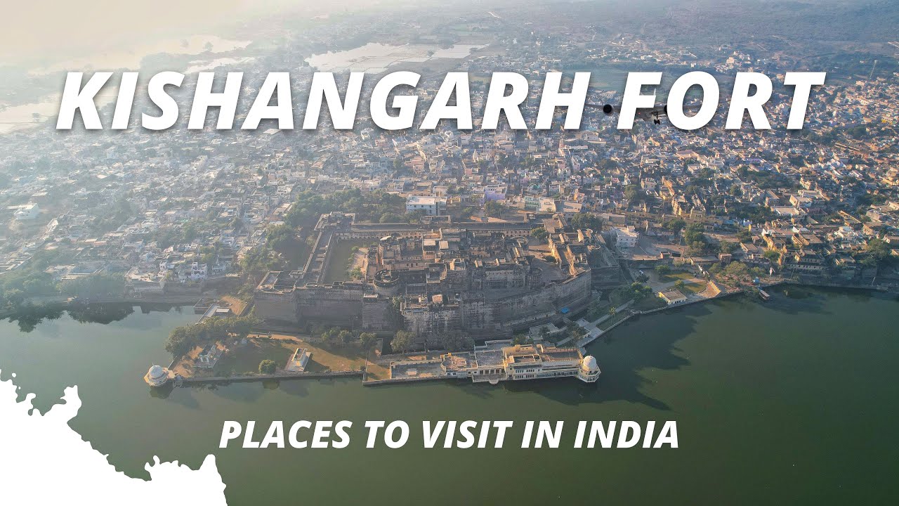
Can you provide drone services outside of Delhi NCR?
Yes, we love a good adventure! While our primary base is Delhi NCR, we provide Pan-India aerial shooting facilities. We’ve covered assignments in over 12 states and 33 cities. For locations outside the NCR, additional travel and accommodation charges may apply, which we discuss transparently during booking.
How do I confirm my booking for drone / aerial shoot?
The process is seamless. First, we have a consultation via call or WhatsApp to discuss your vision and check availability. Once we’re on the same page, you simply fill out our booking form and pay the initial amount. We then mark our calendar and send you a confirmation, so you're all set for your "view from the top!"

Come experience with us!
Technical Facts About Us
Gears
Canon 5D Mark 4, 6D Mark 2 and R6, Sony Alpha a7 R3, R4, R5, Nikon D750, Z5 Mirrorless, Hasselblad X2D II 100C, 907X & CFV 100C (on-demand)
Assignments
3500+ in Corporate Events, Headshots, Aerial Shots, Drone Survey, Wedding, Pre-wedding, Maternity, Newborn, Pre-birthday and many more.
Locations
More than 12 States, 33+ Cities, 3 International Countries
Hire Photographer Near You...!
"The Best Thing About A Picture Is That It Never Changes,
Even The People In It Do."
Please fill the form, and we will reach out as early as possible.
Mob: +91-93116-56789 (24 hours) | +91-72101-56789 (10 am to 6 pm)
Office Timings: 10:00 to 18:00 (IST) (Saturday > Sunday Off)
Shoot Timings: 24 hours (All Days)
If you want to pay booking amount then please click here.
Follow Us on Instagram


Photography Services In:
HYDERABAD - BANGALORE - WARANGAL - KOILKUNTLA - DELHI - NOIDA - GREATER NOIDA - COIMBATORE - GURUGRAM - FARIDABAD - GHAZIABAD - CHANDIGARH - AMRITSAR - JAMMU - VRINDAVAN - MATHURA - MORENA - JAIPUR - JODHPUR - JAISALMER - MANESAR - BHIWADI - REWARI - ROHTAK - JIND - BAHADURGARH - HARIDWAR - DEHRADUN - RANIKHET - KASHIPUR - RUDRAPUR - KOTDWAR - BULANDSHAHR - ALIGARH - MUZAFFARNAGAR - MEERUT - BAREILLY - LUCKNOW - VARANASI - JHANSI - GWALIOR - PATNA - KOLKATA - SRINAGAR - PORT BLAIR - NEPAL - DUBAI